
Wansfell - Lake District Walk
Thursday 18th October 2007
We were heading home today so we opted for a walk on one of the lower fells. As John was going to be doing his 200th Birkett top today he chose to do Wansfell and Wansfell Pike, a walk that I last did in thick mist so it was a real joy to return and do it with clear skies and great views.
Start: Rydal Road car park, Ambleside (NY 3746 0468)
Route: Rydal Road car park - Stockghyll Force - Wansfell Pike - Wansfell - Nanny Lane - Troutbeck - Robin Lane - Skelghyll Wood - Rydal Road car park
Distance: 7.75 miles Ascent: 643 metres Time Taken: 5 hours
Weather: A bright day.
Pub Visited: Royal Oak, Ambleside Ale Drunk: Thirst Run, Keswick Brewing Company
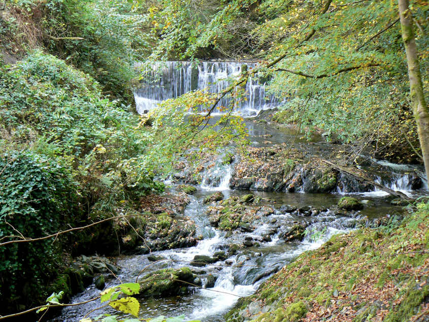
A slight diversion at the start took us to Stockghyll Falls.
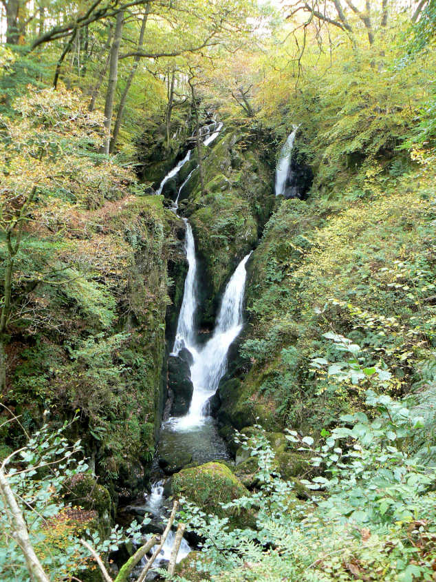
Stockghyll Falls.
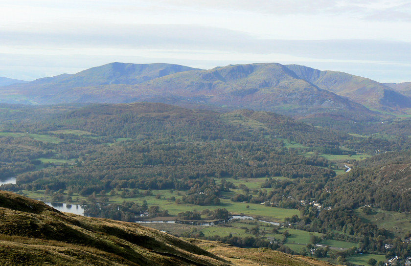
Looking across to the Coniston Fells as we start to climb up to Wansfell Pike.
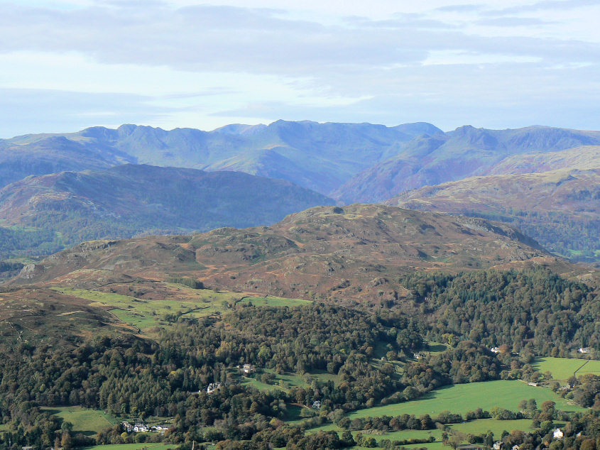
Looking across Lingmoor Fell towards Bowfell and the Langdales.
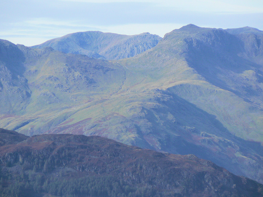
Scafell and Scafell Pike seen either side of Bowfell.
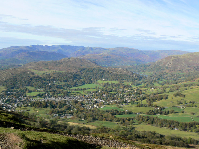
Looking down on Ambleside from Wansfell Pike's summit.

Looking across to the Fairfield Horseshoe.
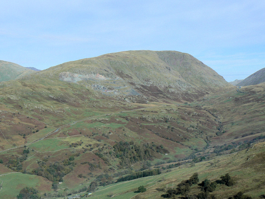
Red Screes.
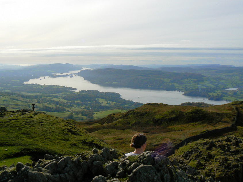
Windermere from Wansfell Pike's summit.
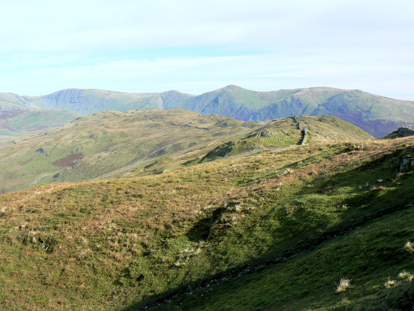
Looking along the ridge we would follow to Wansfell' s true summit with the Yoke to Thornthwaite Crag ridge behind.
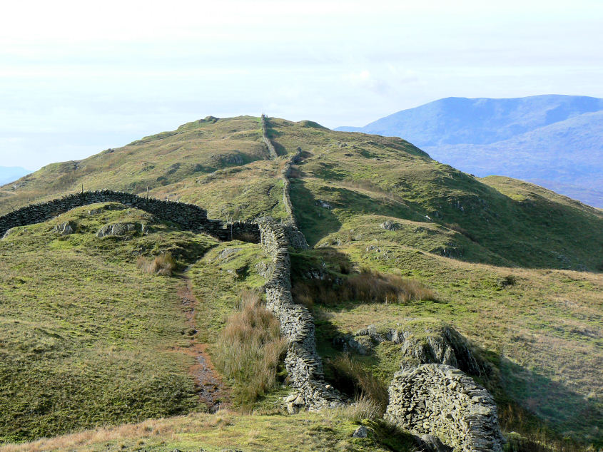
Looking back towards Wansfell Pike. The path to Wansfell Pike had been extremely busy but only one or two people followed our route across to Wansfell's summit, instead they headed straight down to Nanny lane.
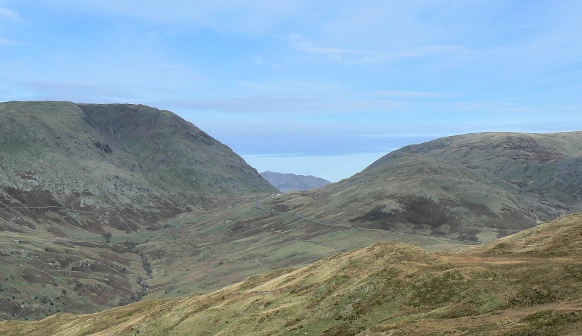
Kirkstone Pass with Place Fell visible.
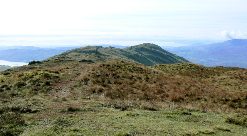
Wansfell Pike from Wansfell's summit.
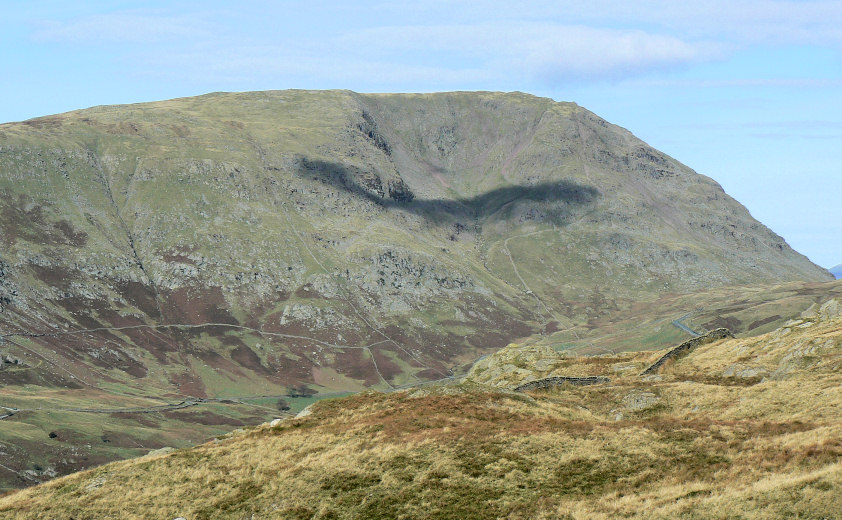
Red Screes from Wansfell.
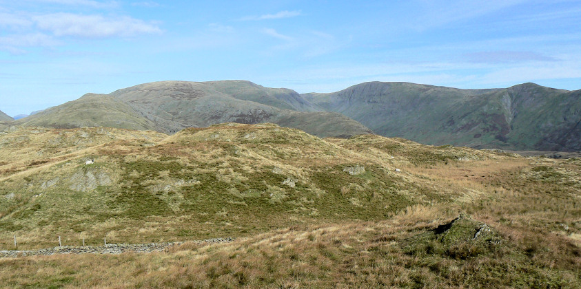
Threshthwaite Mouth and Caudale Moor.
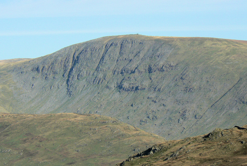
Thornthwaite Beacon.
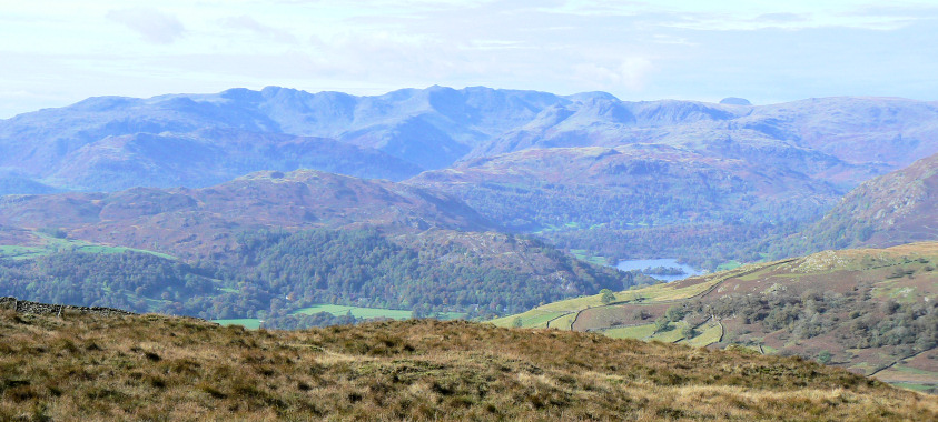
Great Gable is now visible in the distance.
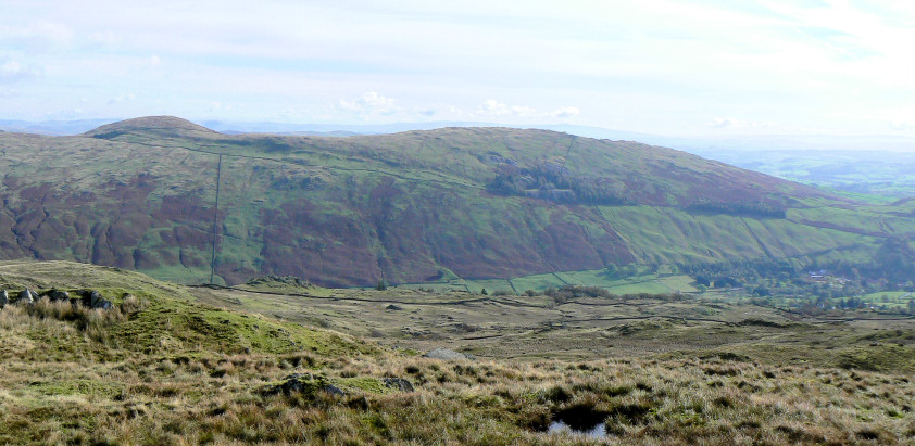
Sallows and Sour Howes.
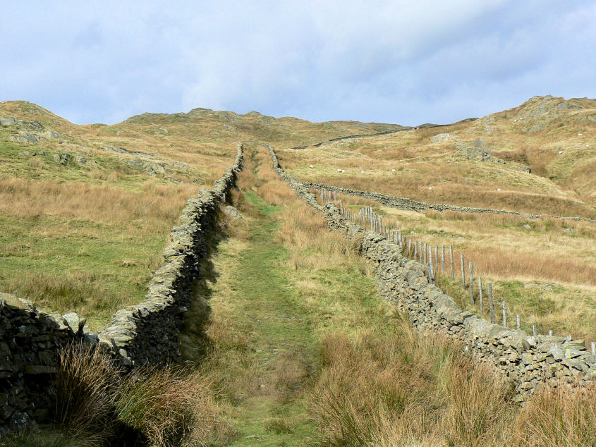
Nanny Lane.
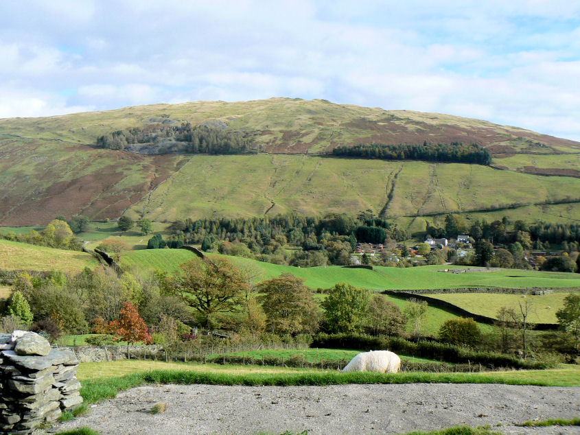
Sour Howes from the bottom of Nanny Lane.
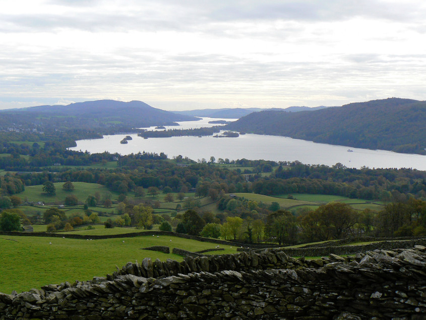
Windermere from Robin Lane.
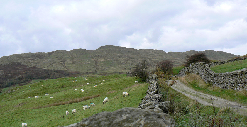
Wansfell.
All pictures copyright © Peak Walker 2006-2023